Thomas Goelles
Scientist at Karl-Franzens-Universität Graz and Virtual Vehicle Research
University of Graz
I am a researcher specializing in avalanche detection through satellite remote sensing and lidar data, following a PhD in glaciology where I modeled ice sheet dynamics and albedo. Defining myself as a ‘full-stack scientist,’ I focus on automating the mundane aspects of research by architecting end-to-end systems that bridge the gap between field hardware and digital insights. This is best exemplified by avalanchemonitoring.com, where I developed the full-stack architecture—from sensor integration to the REST API. My work is rooted in a deep dive into technologies like Docker, Dask, and Litestar to ensure research quality through scalable, reproducible software solutions.
Beyond academic research, my background includes co-founding and successfully exiting a specialized guiding company in Longyearbyen at 78°N. I also co-founded ATSEDA AB, a data science firm in Sweden, where I was responsible for product development and project management. These experiences in entrepreneurship and industrial data analytics now form the foundation for my current work on a University of Graz spin-off focused on lidar-based avalanche detection.
Current Positions
- Lead, Spin-Off Project Development
- Principal Investigator, Avalanche Research
- Lead Software Architect, 2 Research Projects
- Research Software Development & Automation
- Grant & Proposal Writing
- Lead projects on automotive lidar research and deployment
- Design and maintain data management and reproducible-science workflows
- Develop data-science pipelines and analysis tooling
- lidar system testing, validation, and field campaigns
- Grant and proposal writing
- Co-lead of Arctic expedition team
- Classroom and field lectures on technical, fieldwork and actic topics
Skills
Recent Posts
Job Opportunity at the University of Graz, Austria
The University of Graz is currently seeking a:
Position: Researcher (with/without PhD)
- Hours: 30-40 hours a week
- Contract: Fixed-term employment for 1.5 years, with the aim of long-term employment in subsequent research projects.
Job Definition
- Project Title: RSnowAUT - A modular remote sensing pipeline including ground-truth monitoring for automated snow avalanche detection and forecasting.
- Project Duration: 2022 – 2025
- Responsibilities:
- Develop a data pipeline for processing SAR remote sensing and reanalysis weather data for snow avalanche detection, in collaboration with national and international partners.
- See more details at DOI:10.3389/frsen.2023.1156519.
- Conduct publication and dissemination activities.
Your Skills
Required:
- Proven expertise in Python.
- Git and GitHub expertise.
- Ability to work in a team and conduct independent research.
- English language skills.
Preferable, but NOT required:
- PhD in remote sensing, geophysics, computer vision, machine-learning, geography, or similar.
- Experience with netcdf and shapefiles in Python (xarray, geopandas).
- Experience in image segmentation and Pytorch.
- International publication activity.
- Experience in project management and acquisition.
- German language skills.
Our Offer
- Salary: EUR 2,599 - 4,752 gross/month, depending on qualification.
- Classification: University collective agreement: C-B1.
- Contract Type: Regular or consulting contract (Werkvertrag).
- Benefits:
- Join fieldwork in Austrian mountain regions.
- Opportunities to join a spin-off company (GEOTEQ FFG Spin-off Fellowship) planned for 2025/26.
Application Deadline: 22 March 2024
We offer a job with responsibility and variety, an enjoyable work climate, flexible work hours, home-office options, and numerous possibilities for further education and personal development. The University of Graz aims to increase the proportion of women in its workforce and thus encourages qualified women to apply. Applications from persons with disabilities who meet the requirements of the advertised position are particularly welcome.
original published: 2019-02-12 for an update see https://thomasgoelles.com/post/math2/
Introduction
There are many blog posts comparing R and Python for data science but there are only a few about Wolfram vs. Python. In this post I will show some differences between Wolfram and Python and presume that you are familiar with Python but not with Wolfram. Python is now the most popular language for data science projects, while the Wolfram Language is rather a niche language in this concern.
While developing in the Wolfram language (Mathematica) has many advantages, I found debugging hard and confusing at times. The Wolfram language is much more flexible compared to other languages because it treats everything as Symbols and therefore a function can take everything as an argument. Really everything, a sound, an image, a graph, a Number, a String, a Webpage …. Therefore it is important to restrict the function to specific arguments, like Integers with patterns.
Projects
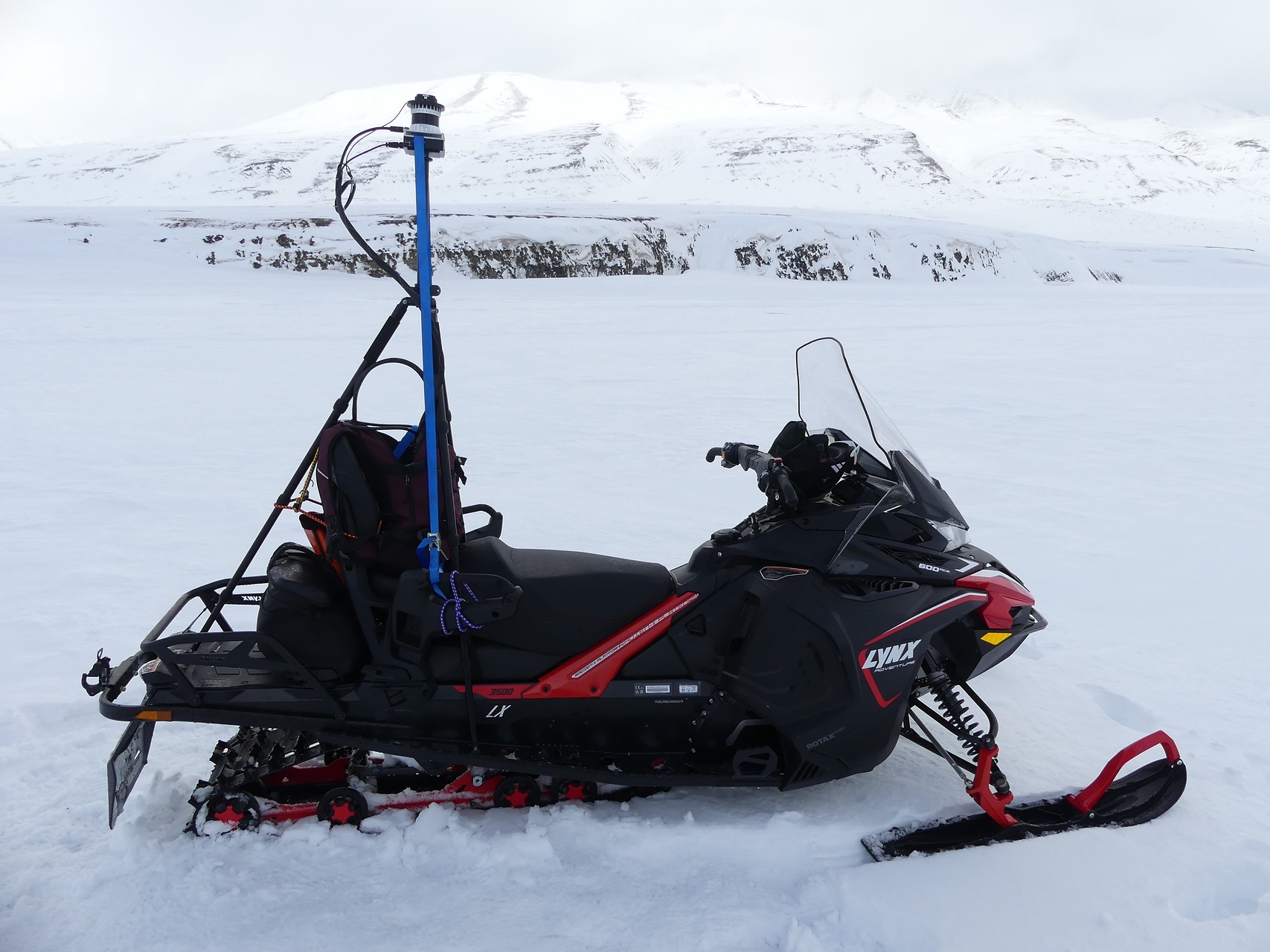
GEOTEQ - Sensor Systems and Technologies for scalable monitoring of snow avalanches and other geophysical processes.
More on that topic later.
Duration: 01.4.2024 - 31.09.2025
Role: Project lead
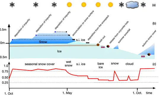
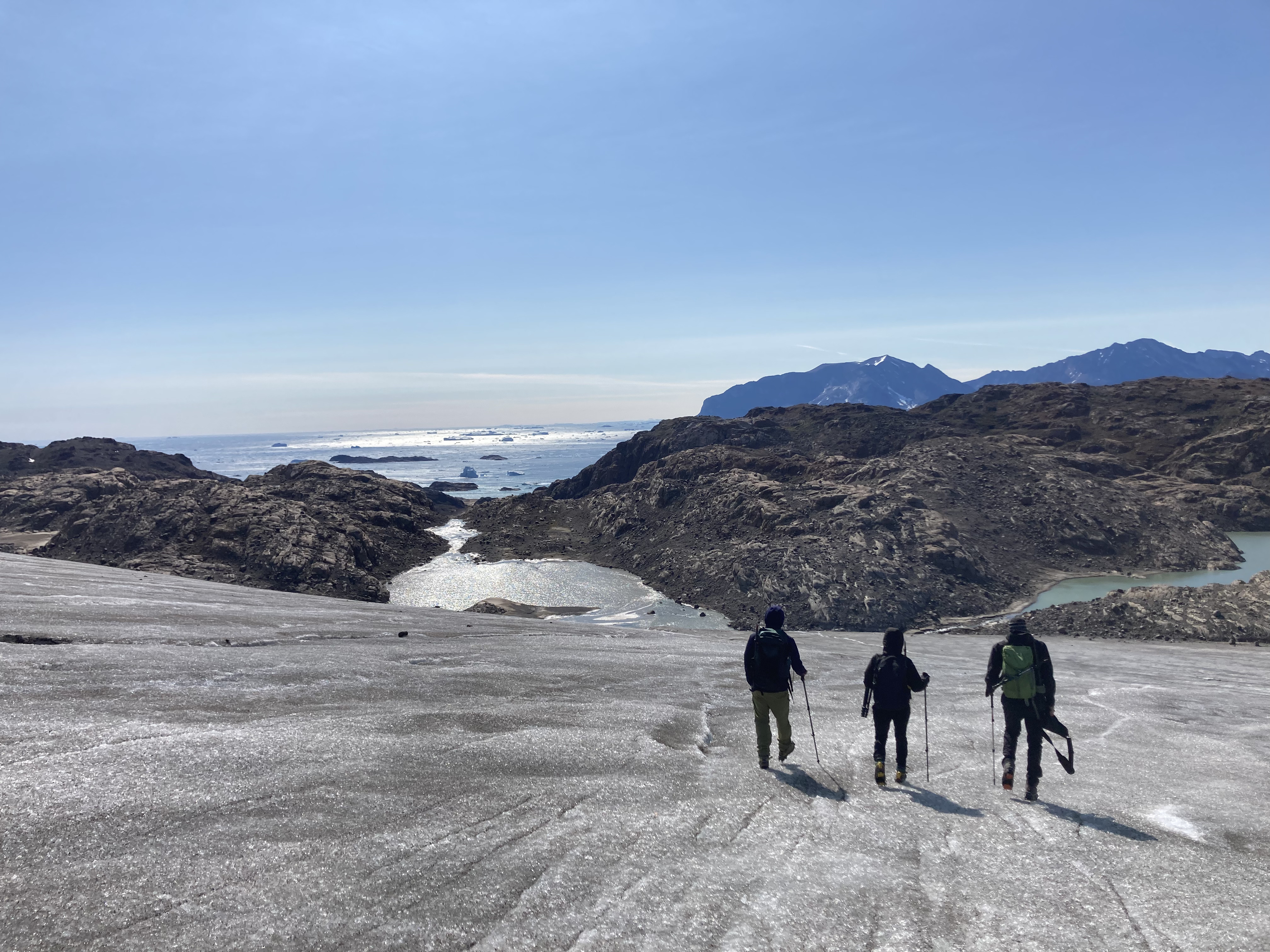
During my PhD Project at the University Centre in Svalbard and the Norwegian University of Life Sciences I conducted research on the impact of ice impurities on the Greenland Ice Sheet. I used developed numerical models to investigate the impact of both dust and black carbon. I also develop a model to simulate impurity accumulation on the ice surface.
Three year to develop a snow avalanche detection service for the Austrian Alpine region using remote sensing data from Sentinel and automotive lidar data.
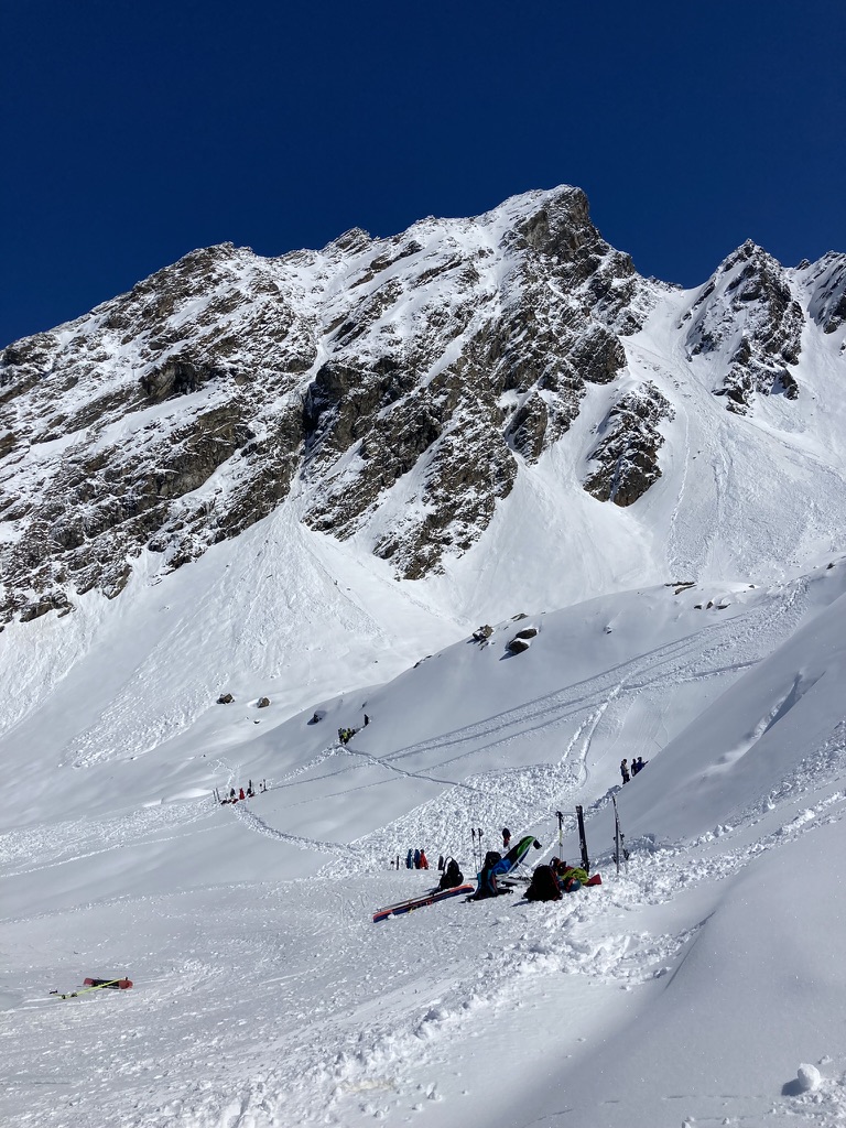
Each year about 100 people lose their lives in snow avalanches in the European Alps and in addition the annual financial loss due to road closures and damages is estimated to be more than one billion euros in Europe only. Avalanche forecasting is currently done by human experts. The overall avalanche activity of a specific region is often unknown even though this information is very important to deliver accurate predictions. Data from satellites can be used together with machine learning algorithms to provide insights on avalanche activities all over the Austrian Alpine region. Automatic avalanche detection using earth observation satellites enables a better and more complete mapping of avalanches than with manual reporting. This can be used to enhance avalanche prediction done by experts and to form the basis of research on automatic avalanche prediction methods. There is currently no operational snow avalanche detection service for the Austrian Alpine region available. Based on recent progress in satellite data resolution and frequency, some scientific studies are available focusing on some test regions in e.g., Norway and Switzerland. In the framework of this exploratory project, we plan to build the scientific basis for establishing a snow avalanche detection service for the Austrian Alpine region using remote sensing data. We plan to establish a strong consortium with background in remote sensing, reanalysis weather data, machine learning, and snow avalanche detection for a larger follow-up project. The exploratory project includes the collection of requirements and expectations related to the final avalanche detection/forecasting product from potential user groups and customers, as well as the development of a deep learning framework, a data pipeline, and an IT infrastructure that can process remote sensing and reanalysis weather data for detection of snow avalanches. We also plan a publication assessing the potential of a snow avalanche detection and forecasting system based on remote sensing and reanalysis weather data in the Austrian Alpine region.
One year exploratory project funded by the Austrian Research Promotion Agency (FFG) to develop a snow avalanche detection service for the Austrian Alpine region using remote sensing data from Sentinel and automotive lidar data.
Data collection and analytics to detect faults close to the lidar unit such as vibration, blocking layers on the cover. Development of testing routines and data analytics tools for the future development of fault detection algorithms.
iLIDS4SAM is a flagship project for Austria´s future in automated mobility. Automated mobility systems are presently moving towards more complex urban traffic scenarios. The FFG-funded iLIDS4SAM project will enable this transition by developing high performance, low-cost LiDAR sensors with increased field of view and resolution.
Teaching
Current Teaching
- Automotive Sensors and Actuators, Laboratory, TU Graz,
- Arctic Technology, FH Joanneum
Past Teaching
- Spatial Statistical Analysis and Visualisation 2
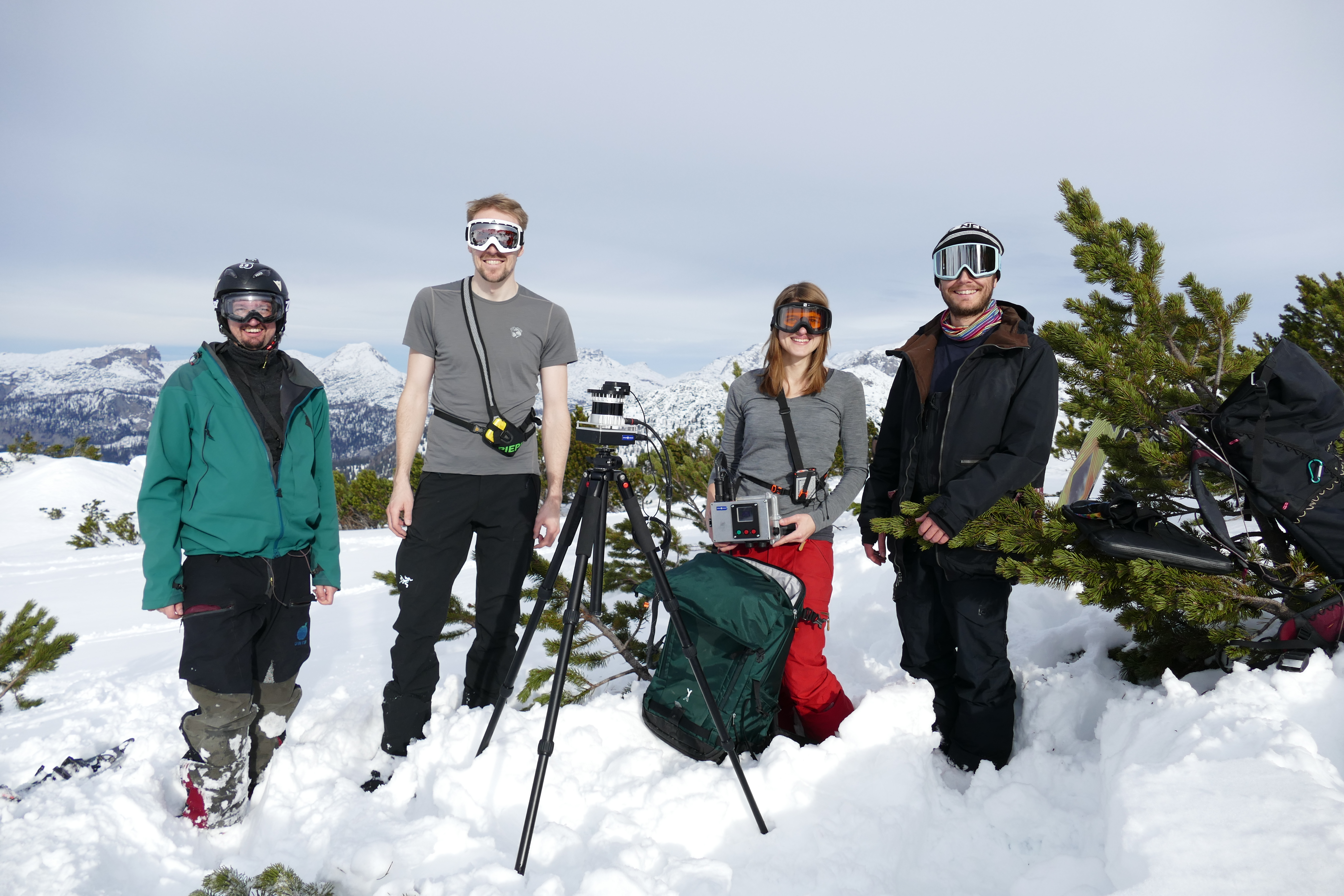
- Field trip (snow and avalanches)
- Modeling in Physical Geography
- Spatial Statistical Analysis and Visualisation 1
- Hydrological Monitoring of Alpine Catchments
- Practical Course in Hydrology
- Automotive Sensors and Actuators, Laboratory, TU Graz, 2022/23
- Geographical field course, 2022/23
- Geoscientific model development: best practices of software development and an introduction to machine learning, Uni Graz, 2021
- Field trip (Snow and avalanches), Uni Graz, 2022
- Snow and ice processes (AGF-212), The University Centre in Svalbard, 2010-2014
- IPY field school, The University Centre in Svalbard, 2011 & 2012
- Arctic hydrology and climate (AT-209), The University Centre in Svalbard, 2010
- 3D-CAD, E&S IT-Consulting, 2006-2007
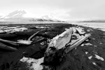
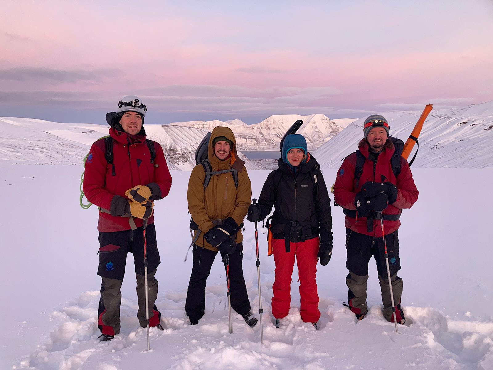
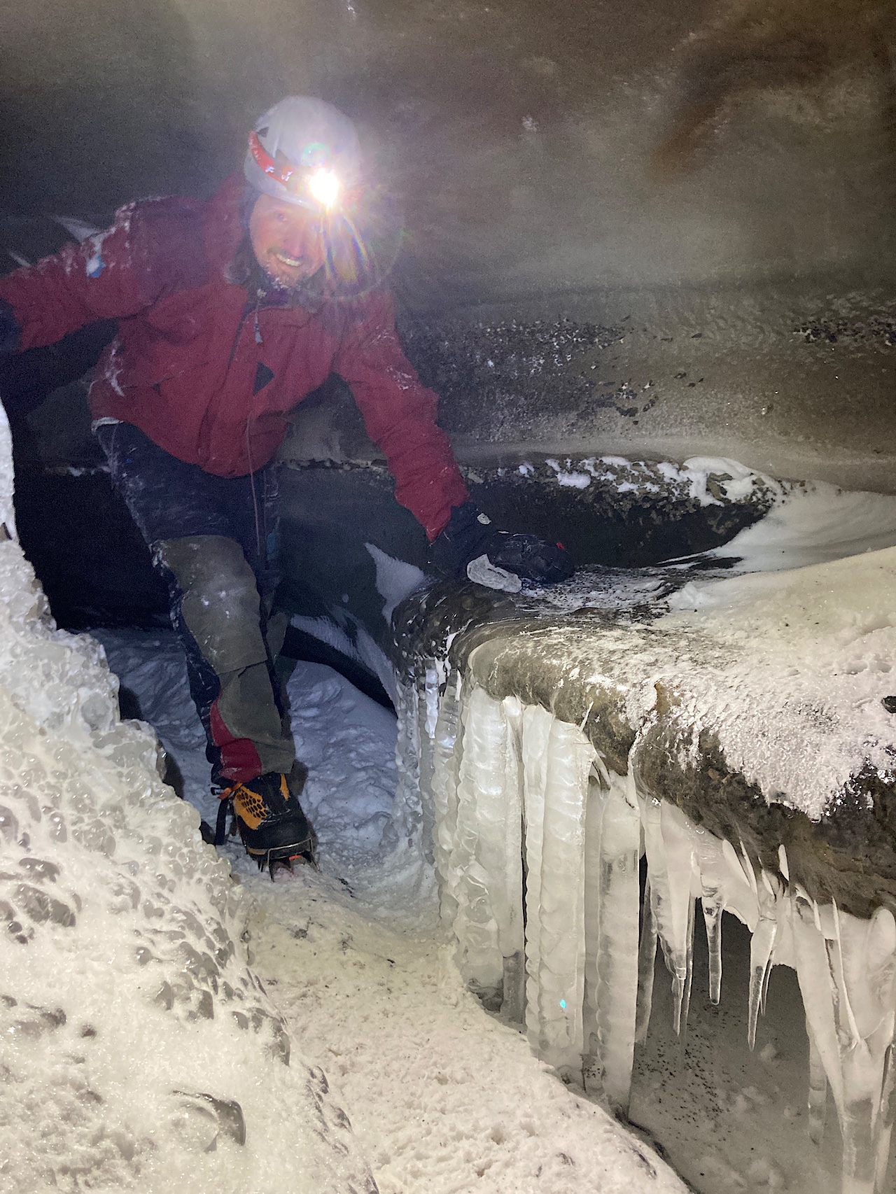
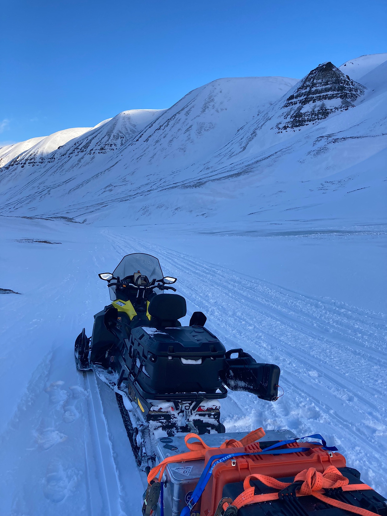
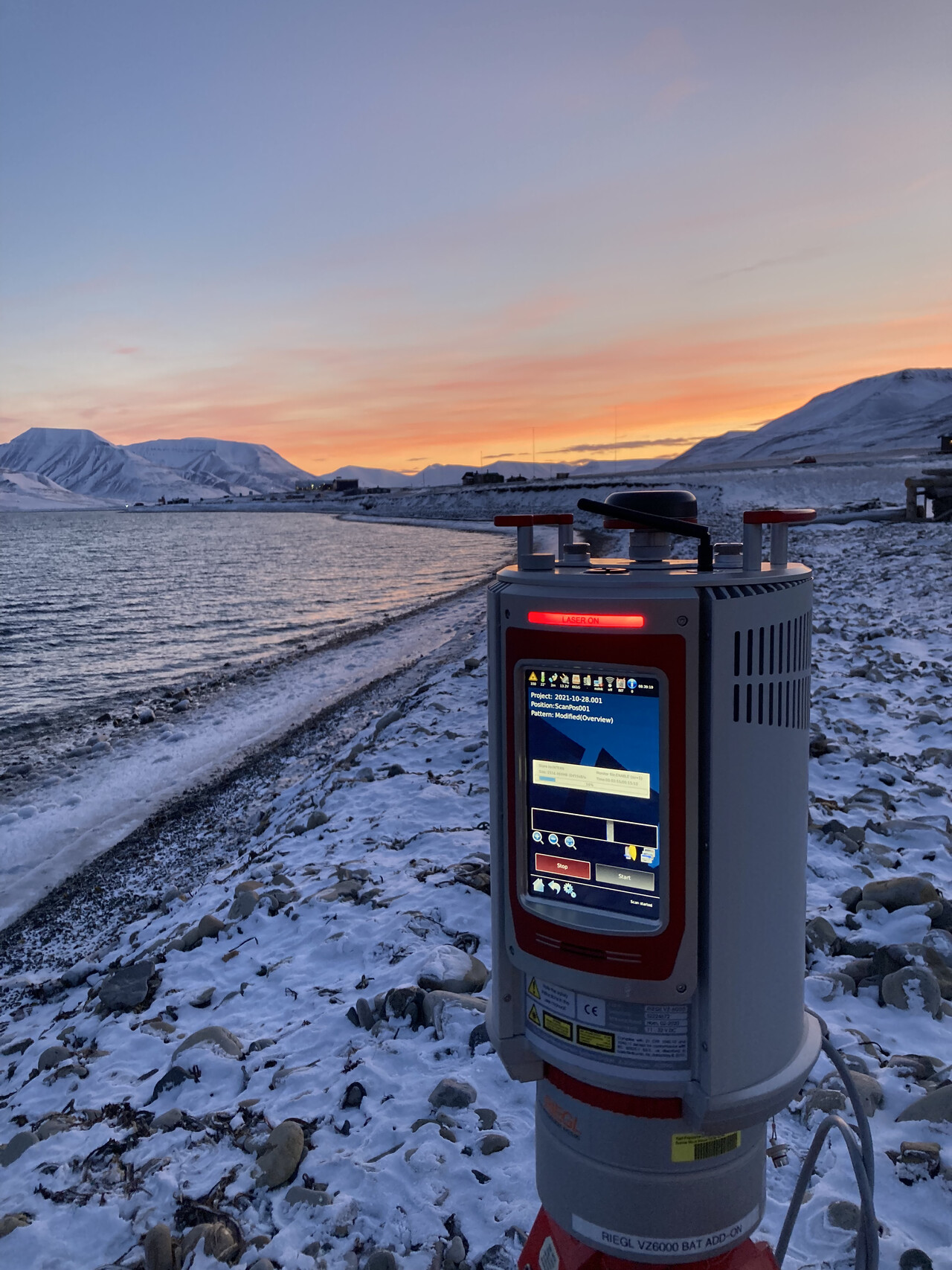
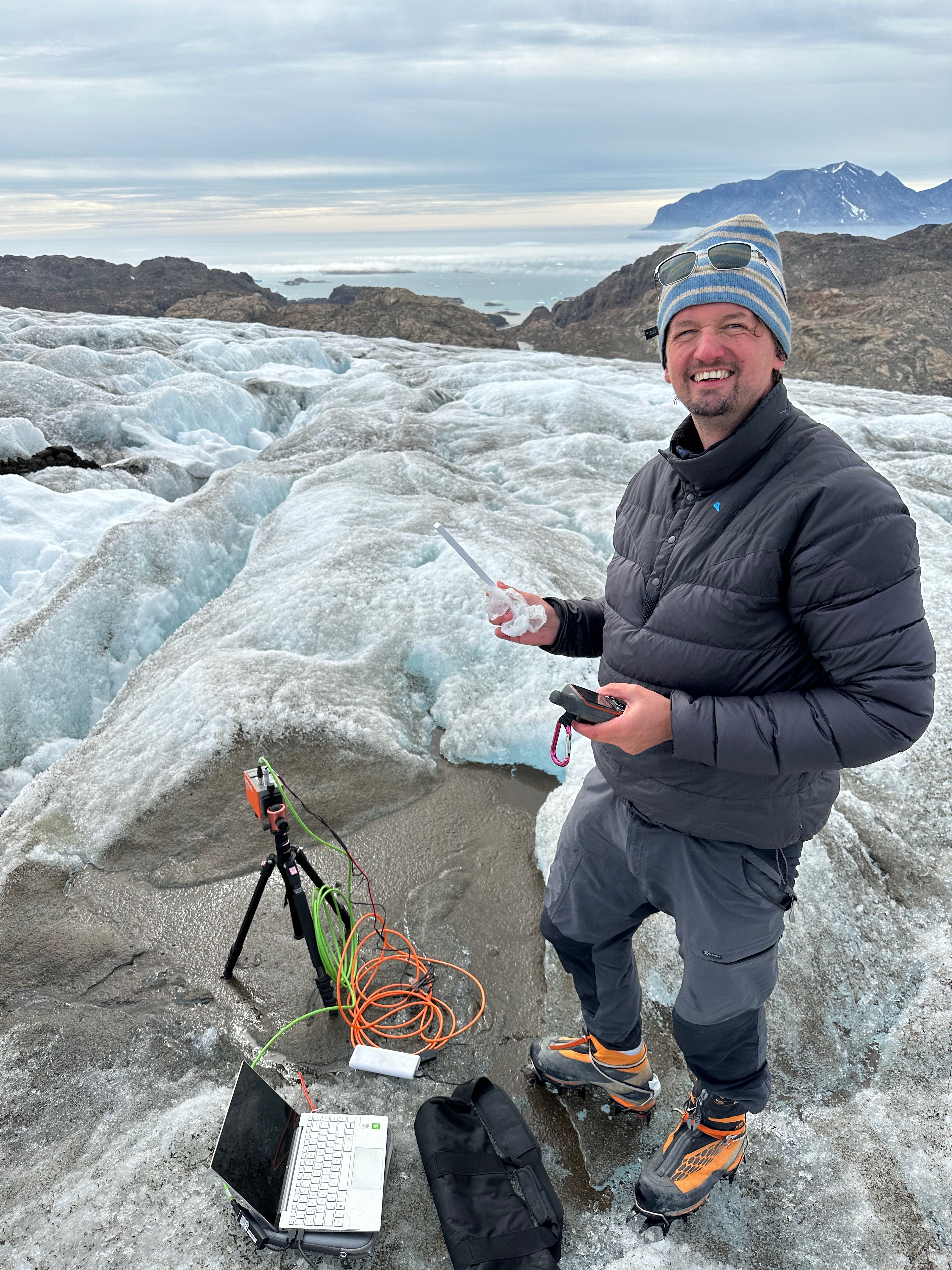
Gallery
Recent Publications
Recent & Upcoming Talks

Contact
- thomas.goelles@gmail.com
- Heinrichstraße 18<br>8010 Graz
- Top Level
- Follow